The last twelve months, October to September. September is still counting.
Drawn from walks recorded in the app since 2026. Nothing here is tied to a name, and yours is only counted once you finish a trek.
Gear checklist
clothing
gear
safety
medical
0 of 15 packed
About this trek
The Khemsar-Yemsar trek climbs from Kulan village near Kangan, in the Sindh valley, through forest and pasture to two remote alpine lakes at around 3,750 metres. The approach is steep in stretches and the lakes are less visited than Kashmir's better-known trekking lakes, making this a quieter option for experienced trekkers. Most parties camp at least one night near the ridge below the lakes before returning the same way.
Season window
Best windowJuly — September
Getting there
Starting pointKullan villageGanderbal, Kashmir
2,153 mTrailhead
About 36 km from Srinagar as the crow flies — the road is longer.
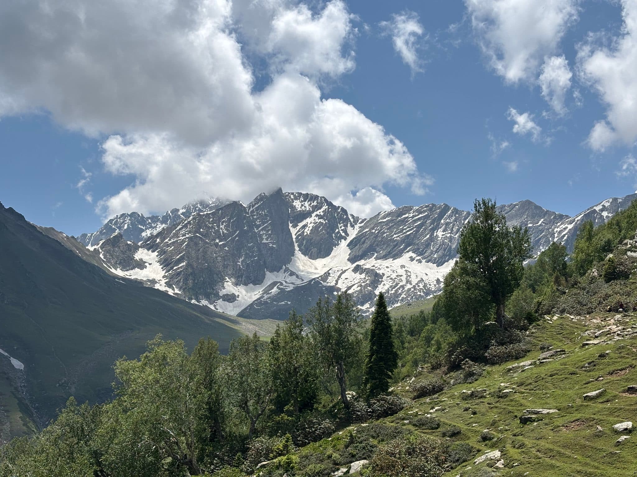 Photo · Saleem Un Qayoom