HARDClosed

Naranag - Gangabal via Nundkol

A classic high-altitude loop from the Naranag ruins up the Butshahi ridge to the twin alpine lakes of Nundkol and Gangabal beneath Mount Harmukh

3–4 days
Duration
StartNaranag village

Season window

Best windowJune · September
CLOSED

Opens around mid-May, a good two months before the Great Lakes traverse, because it tops out roughly 600 m lower and crosses no pass — but May and early June are walked on partial snow cover, and the trail is explicitly not recommended in heavy monsoon rain even though those months fall inside the open window.

Next in season from September.

Route & trail

No surveyed route yet.

This trek has not been digitised, so there is no map, no elevation profile and no checkpoint list for it. Everything else on this page is editor-checked information about the walk itself.

Safety & conditions

AMS riskModerate
WildlifeModerate

Permits

REQUIREDPermit

Trekking permission issued through the J&K Tourism Department (Tourist Officer, Sonamarg) · Registration at the local police station

There is an **army post on the trail where permits are checked and trekkers’ details taken**, and trekkers report needing permission from a **local police station** in order to pass the army camp; a local guide reportedly helps in being allowed through. Trailhead parking at Naranag is also flagged as permit-required and paid. At district level, **Ganderbal issues all trekking permissions exclusively through the Tourism Department**, via the **Tourist Officer, Sonamarg**, who shares details with the Police and Army. Expect to need a government photo ID (original and copies) and possibly a medical certificate; allow one to two working days. Separately, a **fishing permit from Srinagar** is required if you intend to fish Gangabal or Nundkol. There is no mobile signal at Naranag — sort paperwork before you arrive.

NOT OFFICIALLY VERIFIED — CONFIRM BEFORE YOU TRAVEL

Getting there

Starting pointNaranag villageGanderbal, Kashmir

About 34 km from Srinagar as the crow flies — the road is longer.

Directions to the trailhead

Gear checklist

0 / 25

CLOTHING

GEAR

SAFETY

MEDICAL

The Kashmir Explorer app keeps the same checklist on your account and inside the offline Trek Pack.

About this trek

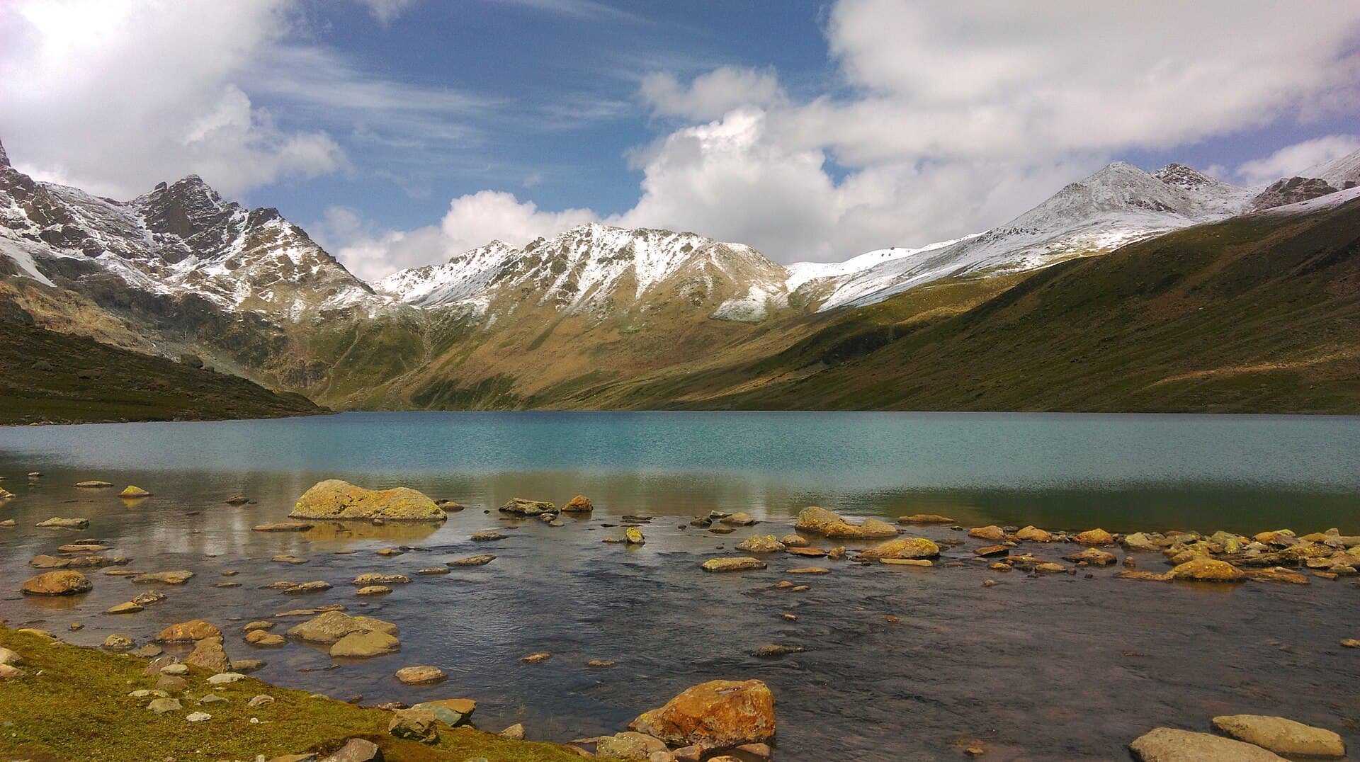
This trek leaves the historic temple ruins at Naranag village and climbs steeply through pine forest up the Butshahi ridge before opening onto high pasture. Beyond the ridge lies Nundkol Lake, and a short climb further reaches Gangabal Lake at the foot of Mount Harmukh, one of Kashmir's most striking peaks. Most groups spend two nights at the lakes before descending the same ridge back to Naranag, making it one of the more accessible multi-day alpine treks near Srinagar.

Photographs

No trekker reports yet.

Conditions on this route change week to week. If you walk it, a short report on pass snow and river levels genuinely helps the next group — reports are posted from the Kashmir Explorer app.

Where this data comes from

ENUM
ClassifiedDifficulty · status · risk levels · permit
EDITOR
Human judgementDescription · risk grading

On the trail

The Kashmir Explorer app is where a trek stops being a page and starts being a walk.

  • Offline Trek PackRoute, checkpoints, itinerary, safety, permits, gear and a corridor of map tiles, downloaded to your phone.
  • Offline GPS navigationFollow the route with no signal, with your position on the line.
  • Live trek sessionStart the trek, track progress checkpoint by checkpoint, and pick it up where you left off.
  • Off-route alertsThe app watches your GPS against the route and warns you when you drift off it.
Open Naranag - Gangabal via Nundkol in the appThe app is on its way to the stores.

Prepare this trek on your phone before you leave signal. The trek, the route and the numbers are identical to this page — one catalogue, one Official Route.

Prepare in the app